


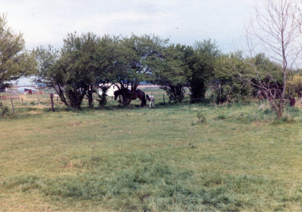
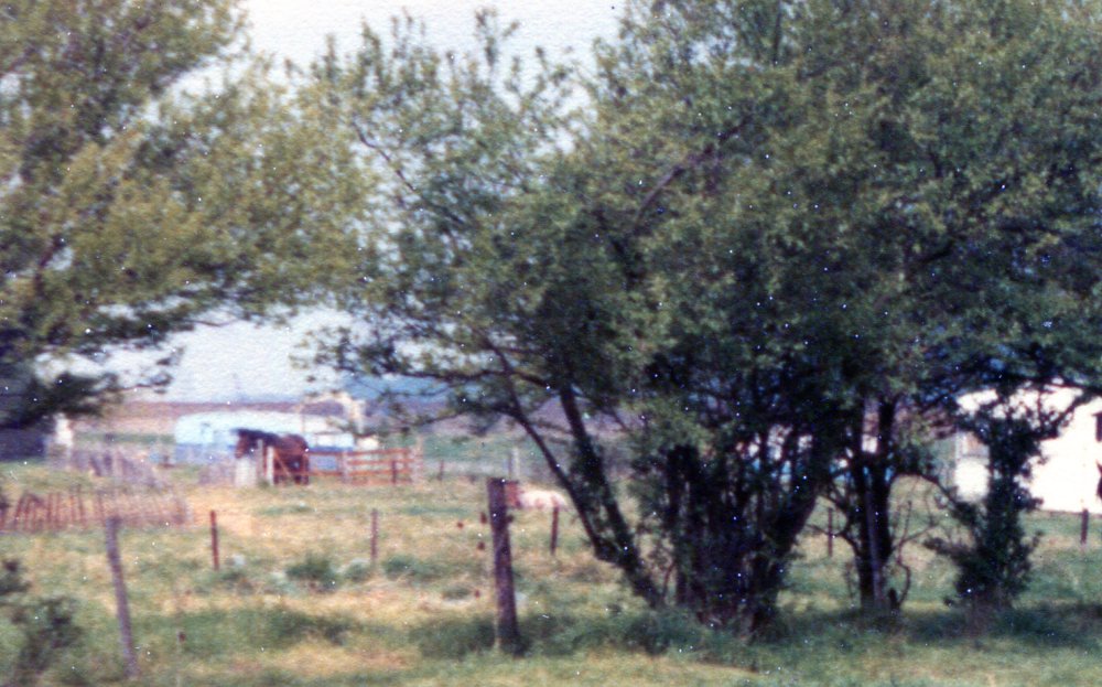
This photo was passed to us by David Kemp. It was taken over 60 acres but we do not know the date. As you can see from the enlargements there are a couple of caravans onsite and there are houses in the background. If anyone has any ideas exactly where this was taken please comment below.


Comments about this page
Nice photo! Bit of guesswork needed but if those are white painted walls they could be the backs of houses/bungalows in Cedar Rd and the patch of darker green foliage in front of them looks like reeds in the Lake. So at a guess this could be somewhere to west of Knightswick Farm(end of Harvest Rd), south of Winter Gdns Path looking south-west.
I thought 60 acres was north of Somnes Avenue Graham.
Yes Jan, technically you’re correct, although back in the day a lot of Islanders would probably have referred to the then sparsely populated area north of the Lake as ‘over 60 acres’ or even just ‘ over Winter Gdns’. However it does change the perspective. Time for a rethink and bit more guesswork, I’m afraid. It could be in the Meppel Ave area(there were a few old caravans over there) looking east then the blurred outline of ‘modern’ housing could be Central Wall Cottages. I think I still prefer my first option. Has anybody else got any ideas?
Yes I know that Graham but I dont think the photo is that old Graham.
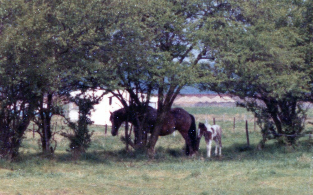
If you look between the blue caravan and the tree to the left, it looks like a crane or cranes in the background. I don’t think the white wall is bungalows as they seem to be in a very tight row. Although I don’t know what it is. I will ask Dave when he comes here next.
You might have something there Joan. Could that be the seawall. Could those be piles of gravel? It also looks more like the downs behind. I will see if i can pull up anything more from the original.
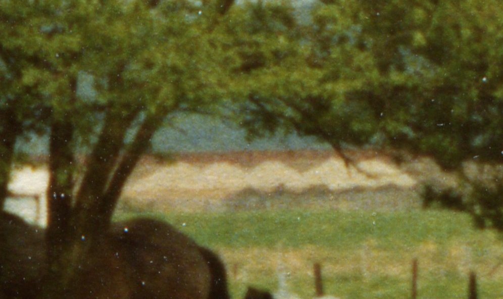
I have enlarged the area behind the Mare and foal again and it definitely looks like piles of something. Lighter ones at the back and smaller dark ones at the front. Definitely looks like it could be the wall before it was clad to me.
The other section I enlarged further but there is not enough detail to get anymore info.
Yep, I’m making a complete turn around. You’re right ,it’s the seawall with piles of gravel in front. Exactly what they did in the late 70s using’hoggin’ to bolster up the interior of the wall.Only point of the compass I didn’t try was west!
I would have thought North not West
Hello
As we seem to be looking roughly north I wonder if the piles of whitish material in the background could have been used for the features and paths of the golf course and if that could be a clue to the location. If you look at Peter Hawkins picture of same in his walk round Canvey the paths and bunkers etc seem to match and the mounds are of course artificial.
Graham. Our family always understood 60 acres to describe the area from the lake northwards. It probably stopped in our mind this side of Somnes ave. Way beyond that was the homestead part before you hit ‘the marshes’. I used to help the Norris family feed the cattle on the marshes, bitterly cold in winter driving snow. But I got to drive tractors and the land rover at a ridiculously young age. Exciting.
Hi this is Leige avenue on sixty acres the top end nears the sea wall there was a orchard right at the top & I believe the horses belonged to a couple call Marie Ann & Eddie I think its late 70 early 80 ???
It was always known as winte Gardens in those days
Add a comment about this page