


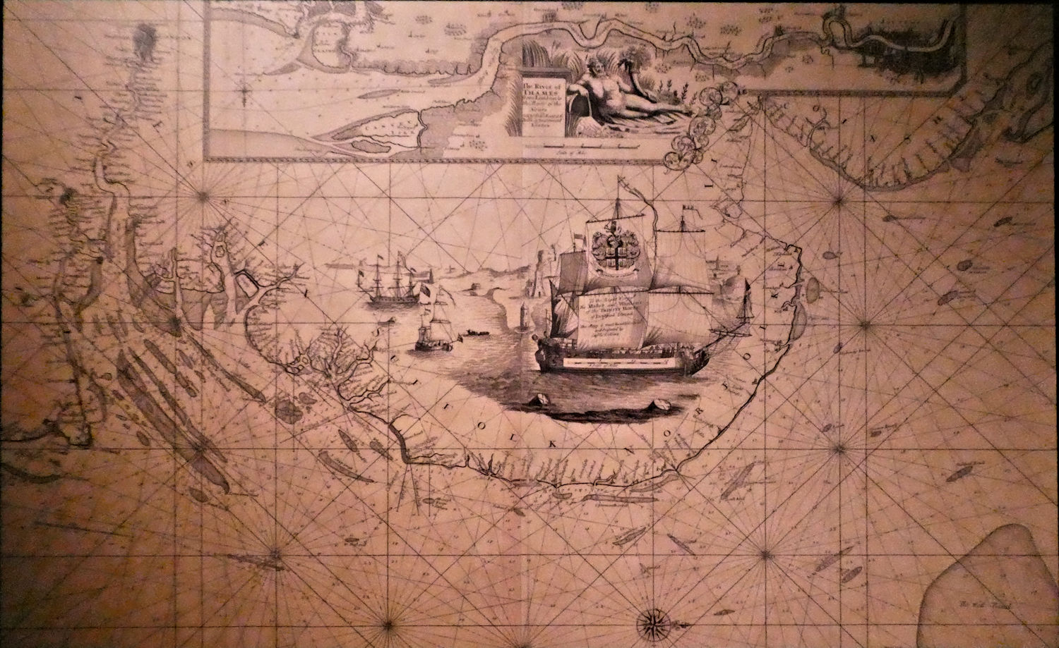
On my recent trip to Southend I popped into the museum to have a look at the interesting Exhibition about The London. There I found this map which shows the East Coast and the Thames from London to the Nore. If you look carefully you can see Canvey Island. But I have enlarged it for you in case you cannot see it as the map is in an unusual orientation.


No Comments
Add a comment about this page