


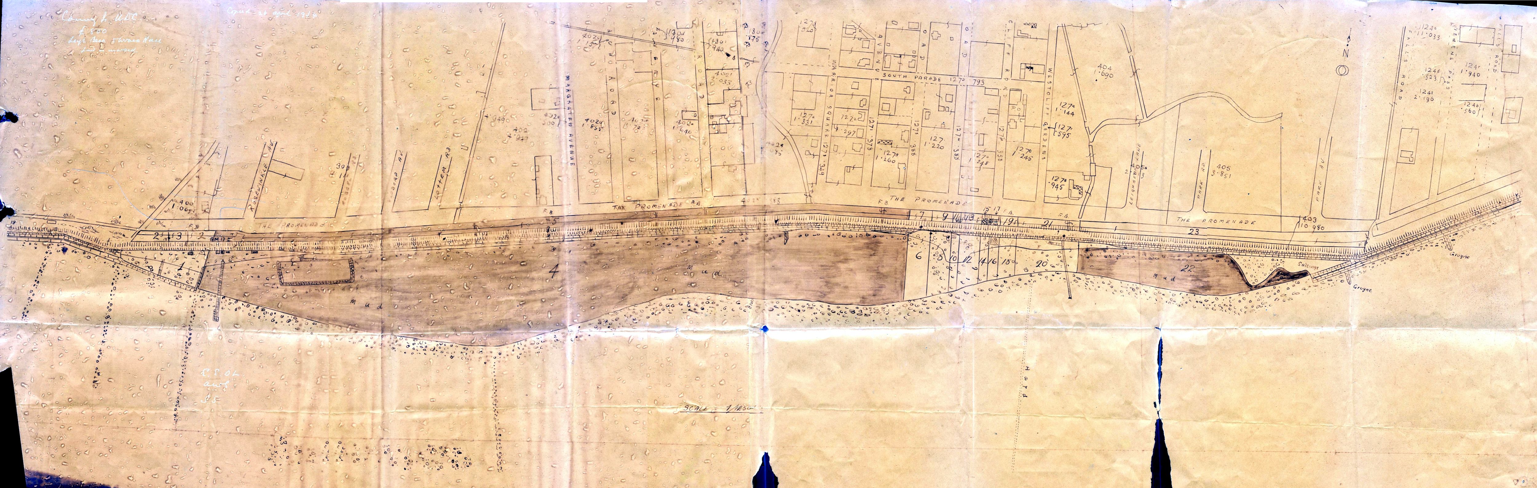
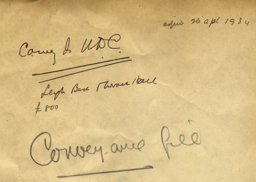
This shows the seafront and was originally copied on the 26th April 1934 from a map held by the Canvey UDC as can be seen from the writing on the back of the blueprint.
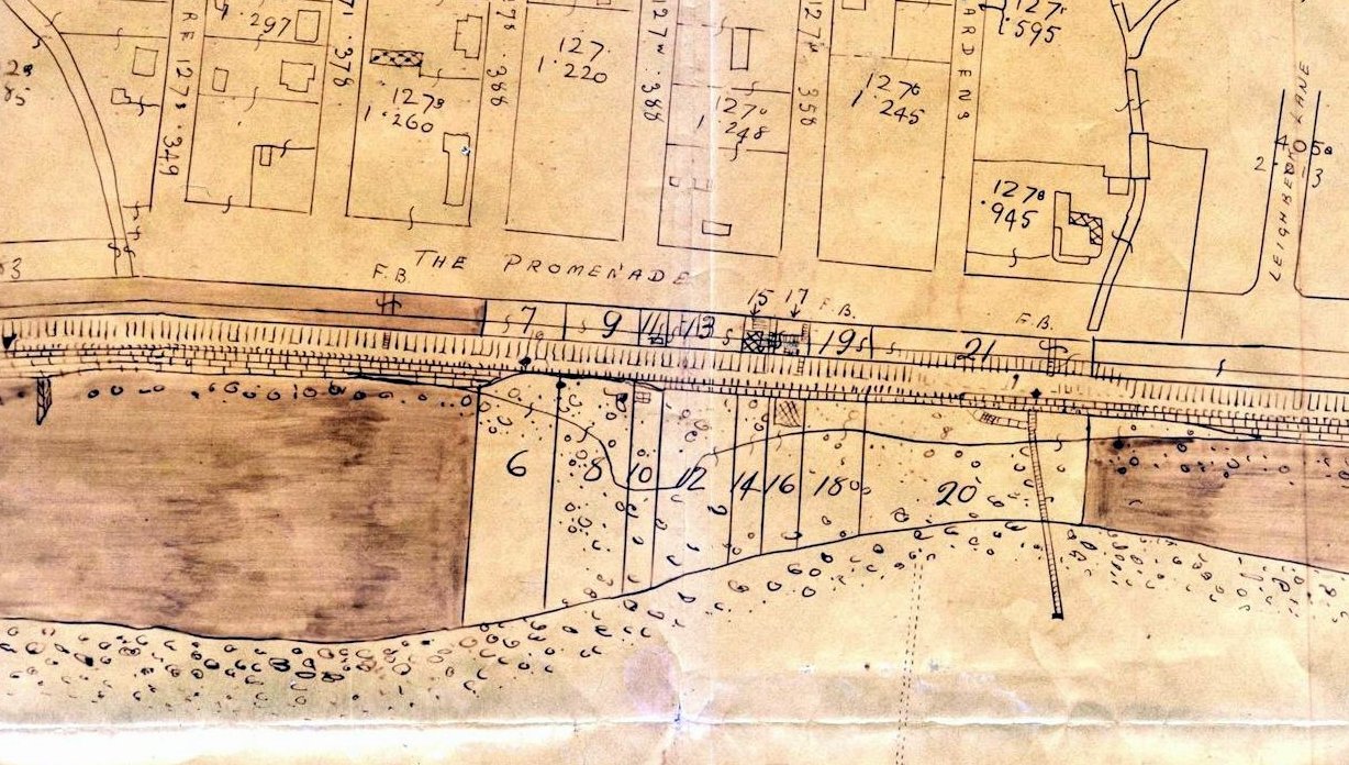
What the significance of the blueprint we do not know but it makes interesting reading when you click on it to see an enlargement. It shows the names of roads, some of which have changed and the buildings that were there at the time the map was printed. Most important it shows the shoreline and the tidal pools.


No Comments
Add a comment about this page