


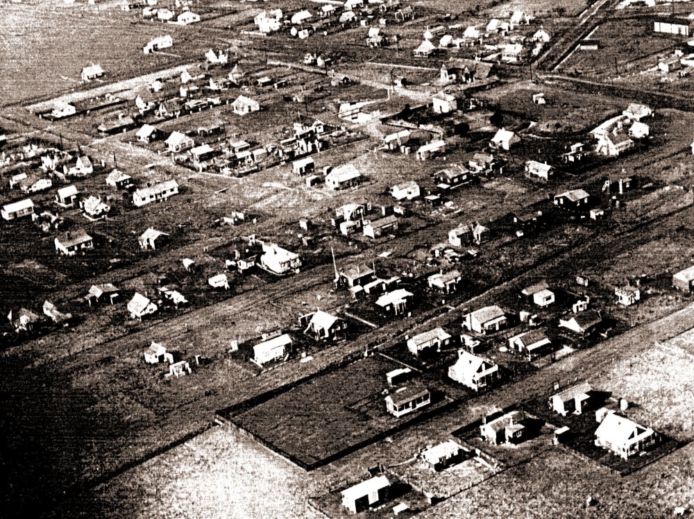
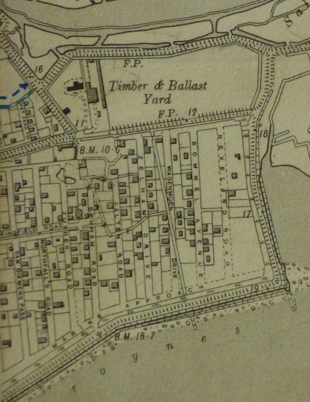
This aerial picture was taken in the 1930’s. It tallies exactly with a map I have access to from 1932. Copy to follow. The top right corner shows the counter wall at the point roundabout. The buildings on the otherside of the wall to the right are from the Timber and Ballast Yard now Canvey Supply yard and right at the very top is the saltings at Small Gains Creek.
The south wall is now Point Road, from the roundabout left towards to the top left of the picture on to the High Street. The road running diagonally right to left st the top left of the page is Southfalls Road. The other roads are mostly the same or similar to what they are today with the main exception of Chapman Road which is totally different and I need to see the map again to get the name.
Beveland Road runs diagonally across the bottom right corner after the last of the buildings. This will become clearer when I upload a copy of the map.
I am trying to pick out any notable buildings and wonder what the large building just to the right and below the point roundabout. Any ideas?


Comments about this page
Is it ‘the Barn’ from Leigh Beck Farm?
I think you could be right Dave as that was the location. Harry Russell painted a picture of it (Then known as Clayton’s). He says it was where the Bus Terminal was. There was also a large pond there which shows in the picture going directly towards the seawall. It looks like the farm buildings just to the right hand side between the Barn and the pond. Which fits in with Harry Russell’s paintings.
Looks like the barn – later to house the “Old Barn Cafe”, owned in the late 40’s by my uncle and aunt, and also, in the other half of the building, “Gouldings Wire Works” who also had premises in the High Street near the junction with St Annes Road. I believe there is a photo of the Barn Cafe somewhere on the Archive but cannnot find it at the moment. Michael Swanson
Add a comment about this page