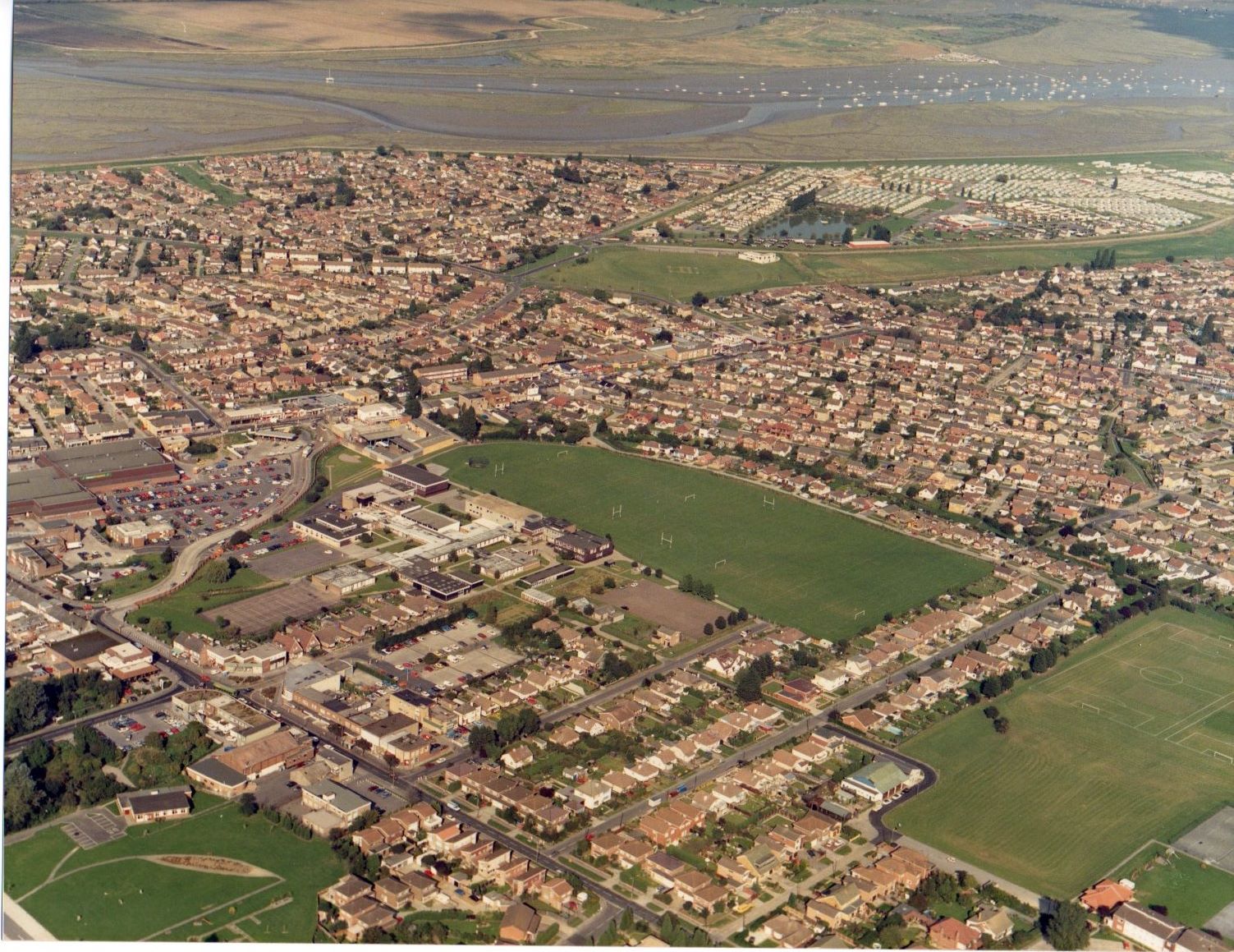
Furtherwick School area late 1980s/early 1990sAn aerial view. zoomClick to see enlargementAuthor By Janet WaldenPage added 19/10/2015 No CommentsStart the ball rolling by posting a comment on this page! Add a comment about this pageYour email address will not be published. Required fields are marked *Your comment:Name * Email * I consent to my name and e-mail address being stored along with this comment, and to the website editors communicating with me by e-mail about the comment if necessary. My name may be published alongside the comment on the website, but my e-mail address will not be published. My information will not be shared with any third party (see our Privacy Statement - opens in a new window). * Δ Aerial PhotosAerial of Canvey PointAerial photos of the new sewage treatment plant 1967Around the High Street and Maurice RoadCanvey Fort 1949-1952Canvey from the AirCanvey Lake in the late 1980s.Fielders Road and BridgeFurtherwick School area late 1980s/early 1990sMaurice Road and surrounding area 1924Royal Eagle Nr Deadman's Point 1948Seafront Aerial ViewSome Familiar Places from AboveThe Oil Storage DepotTwo Aerial Photos Canvey PointWhat can you see?Where abouts do you think this is? Share thisFacebookPinterestTwitterLinkedin


No Comments
Add a comment about this page